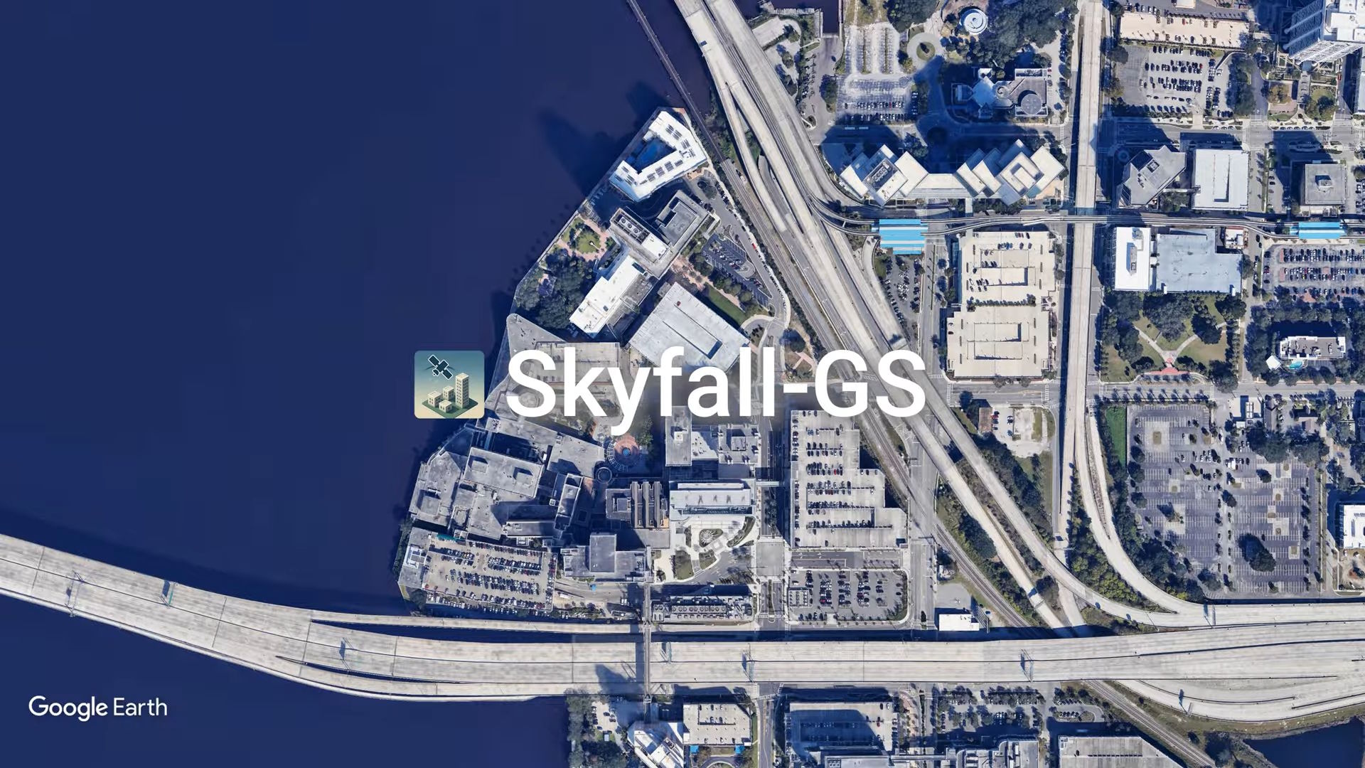
Skyfall-GS turns satellite images into walkable 3D cities
PositiveArtificial Intelligence

Skyfall-GS is revolutionizing urban planning by transforming standard satellite images into detailed, walkable 3D city models. This innovative AI system eliminates the need for costly 3D scanners and camera fleets, making city modeling more accessible and efficient. This advancement not only enhances the visualization of urban environments but also opens up new possibilities for architects, city planners, and developers to create more sustainable and user-friendly cities.
— Curated by the World Pulse Now AI Editorial System


